Durmitor Ring by bike
The Durmitor Ring (Prsten Durmitora) is an asphalt loop of about 83 km around the Durmitor massif from Žabljak, over the Sedlo pass and the 1,952 m pass below Štuoc, ridden on road, gravel or e-bikes from May to October.
Around the Durmitor massif, Žabljak and Plužine · About 83 km loop
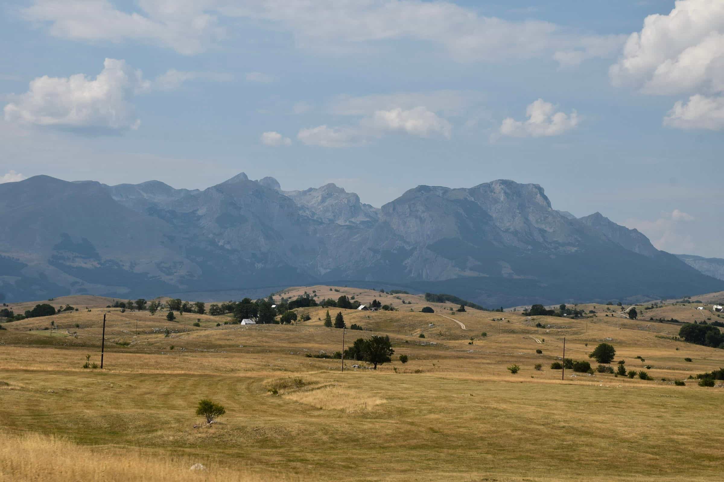
Photo: Daniel.fox123 · CC BY 4.0
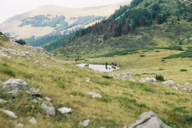
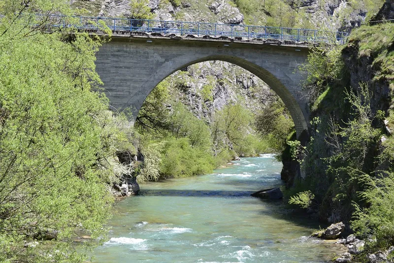
The Durmitor Ring (Prsten Durmitora) is the asphalt loop around the Durmitor massif from Žabljak: about 83 km as the tourist office's cycling route, graded medium to hard, for road, gravel and e-bikes, ridden from May to October. The road climbs to the pass below Štuoc at 1,952 m, the highest point reached by asphalt in Montenegro, crosses the Sedlo pass at 1,907 m and runs through Durmitor National Park, a UNESCO site, past the villages and katuns of the plateau and above the canyons of the Tara, Piva and Sušica. Signed as panoramic road number 2, it measures 76 km from the centre of Žabljak back to it.

Key facts
| Length | about 83 km as a cycling route; 76 km as the signed panoramic road from Žabljak centre |
| Surface | asphalt; gravel only on the spurs into the Sušica canyon |
| Grade | medium to hard |
| Bikes | e-bike, road bike, gravel |
| Season | May-October |
| High points | pass below Štuoc 1,952 m; Sedlo 1,907 m |
| Gradients | 8% on both sides of Sedlo; up to 11% below Štuoc; 10-12% on the descent to Pišče |
| Signs | brown Panoramic Roads signs with the number 2, in both directions |
| Park ticket | €5 per person per day; checkpoint at Sedlo |
The route
From Žabljak, at about 1,450 m the highest town in the Balkans, the loop has two very different arms. The southern arm leaves past the turn for the Savin kuk cable car, 2 km from the centre, runs under the landmark peak of Stožina into the Pošćenje valley past the Lomni do inn and the Studenac spring, and climbs at 8% along Lomni do and Uvita greda to the Sedlo pass, 1,907 m, the boundary between Žabljak and Plužine municipalities, with a rest area, parking and the trailheads for Škrčko jezero and Bobotov kuk, 2,522 m, the highest peak of Durmitor. Beyond the pass it drops at 8% into the Dobri do cirque, passes under Prutaš and the tilted strata of the Šareni pasovi and reaches the Pišče junction on the Piva side with a final descent of 10 to 12%. The northern arm turns off about 8 km from Žabljak at the Momčilov grad inn and climbs through forest to the pass below Štuoc, 1,952 m, with views of Pivska planina, Bioč, Maglić and Volujak, then descends at up to 11% to the Mala Crna Gora junction, where the village road narrows to about 2.5 m. A 2 km gravel spur from there leads to a viewpoint at the cliff edge of the Sušica canyon; the asphalt continues through Nedajno and Trsa to Pišče, closing the ring.
A rougher alternative for high-clearance vehicles drops about 5 km of gravel at up to 11% from the Sušica viewpoint to the canyon floor, where the park's Sušica hut stands beside the seasonal Sušičko jezero (open from late June to the end of September, €10 per person per day), and climbs about 6 km at up to 10% back to the asphalt in Nedajno; the section is narrow and prone to landslides. Road conditions on the ring change, so check them before setting off: the daily road conditions page covers the Žabljak and Plužine roads.

Without your own bike
The park hires bikes at €3 an hour or €8 a day, and Piva Nature Park has 30 mountain bikes for hire in Plužine. The park also sells the ring as a vehicle tour: €20 per person by van and €30 by jeep, park entrance included. The panoramic road's audio guide runs the loop anticlockwise; campervans are advised to drive it clockwise, and it is not suitable for larger campervans.
When to go
May to October for the cycling route. Both passes stand near 2,000 m, so take the ends of the season from the road conditions page rather than the calendar.
Fees
The loop runs through Durmitor National Park, which charges €5 per person per day; the park's ticket checkpoints include Sedlo, on the ring itself, and Sušica. Tickets are also sold online at ulaznice.nparkovi.me.
Getting there
Žabljak is the base: the signed loop starts and ends in the town centre and is marked in both directions. The Ćurevac viewpoint over the Tara canyon, 4 km from Žabljak, is a short detour at the start.
Safety
The ring needs fitness, and organised groups are recommended for it. Descents reach 11 to 12%, the village road at Mala Crna Gora is about 2.5 m wide, and the whole loop is a public road with traffic. The emergency number is 112.
Nearby
Rest-day options from Žabljak: rafting on the Tara, the zip line at the Đurđevića Tara bridge and the walks on the hiking in Durmitor page. Two of the national Top Trails pass Žabljak: Top Trail 4, Endless Landscapes, over the Sedlo pass, and Top Trail 2, North Discoveries. Longer rides are on the cycling hub.
Questions
How long is the Durmitor Ring?
About 83 km as the Žabljak tourist office's cycling route; the signed panoramic road measures 76 km from the town centre back to it.
Can I do it in a day?
It is graded medium to hard; plan from the two passes, 1,952 m below Štuoc and 1,907 m at Sedlo, and the 8 to 12% gradients rather than from the distance. E-bikes are among the bikes the route is listed for.
Is it open in winter?
The cycling season is May to October; the road itself is public, and its state is in the daily road conditions page.
Highlights
- About 83 km asphalt loop around Durmitor from Žabljak
- Passes at 1,952 m below Štuoc and 1,907 m at Sedlo
- Road, gravel or e-bike; medium to hard; May-October
- Views over the Tara, Piva and Sušica canyons
On these trips
Sources
TO Žabljak: Prsten Durmitora · NTO: Biking in Montenegro · NTO map: Durmitor ring (panoramic roads) · National Parks of Montenegro: Durmitor, active holidays · NTO: Hiking and trekking · National Parks of Montenegro: Durmitor price list · TO Žabljak: Panoramski putevi (Ministry panoramic-road guide: Durmitor Ring) · National Parks of Montenegro: Management Plan NP Durmitor 2026-2030 (PDF) · National Parks of Montenegro: online tickets