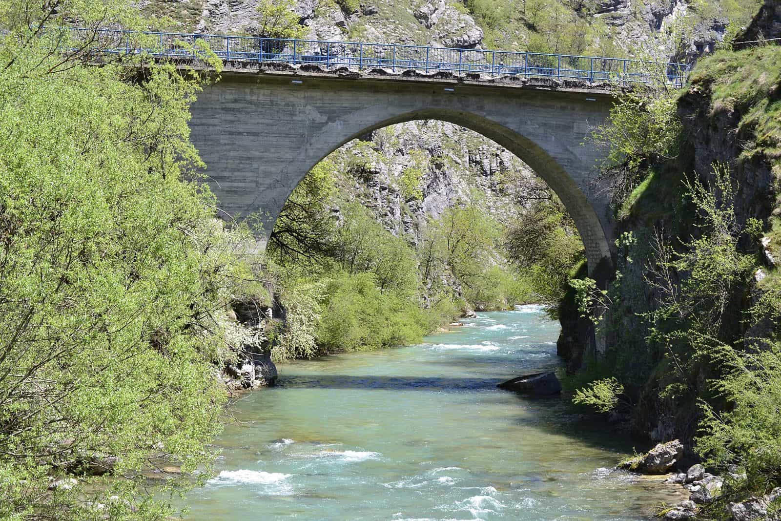
Endless Landscapes (Top Trail 4) cycling route
Top Trail 4, Endless Landscapes, runs 415 km from Podgorica through Danilovgrad, Šavnik, Plužine, Žabljak and Kolašin and back in 5-7 days, with 10,674 m of climbing up to the Sedlo pass on Durmitor at 1,907 m.
Podgorica to Durmitor and back · 5-7 days (415 km)
Photo: BuhaM · CC BY-SA 4.0
Endless Landscapes (Beskrajni pejzaži) is Top Trail 4, a 415 km route from Podgorica through Danilovgrad, Šavnik, Plužine, Žabljak and Kolašin and back to the capital in 5 to 7 days. It climbs 10,674 m in total, from 50 m in Podgorica to the Sedlo pass on Durmitor at 1,907 m. The route is signposted along its whole length, and the national tourism organisation publishes the brochure and the GPX track.
Key facts
| Length | 415 km |
| Days | 5-7 |
| Total climb | 10,674 m |
| Highest point | 1,907 m, Sedlo pass, Durmitor |
| Lowest point | 50 m, Podgorica |
| Start and finish | Podgorica; the GPX track ends about 3 km from its start |
| Marking | signposts along the route, plus the GPX track for navigation |
| Grade | challenging |
The route
The towns come in this order: Podgorica, Danilovgrad, Šavnik, Plužine, Žabljak, Kolašin. From the capital at 50 m the route crosses the Bjelopavlići plain to Danilovgrad, climbs north into the hills to Šavnik, the small town in its river gorge, and continues to Plužine above Piva Lake. The Sedlo pass at 1,907 m, between Plužine and Žabljak, is the high point of the whole route; from Žabljak the loop turns south-east to Kolašin and drops back to Podgorica. The elevation profile also names Boan, Mareza, Kutsko brdo, Petnjica, Duži and Dubljevići among the points on the way.

Climbing and daily distances
10,674 m of ascent over 415 km: five days means stages of about 83 km with roughly 2,130 m of climbing each, seven days about 59 km and 1,520 m. Plan the stages from the GPX track rather than from the headline figure, and give the Durmitor crossing its own day.

When to ride
Cycling in Montenegro is possible all year, and the Podgorica and Danilovgrad sections at the bottom of the route ride in any month. The Sedlo pass at 1,907 m is for the snow-free months, from late spring to autumn, and it is the section to look at before the Durmitor stage.
Signposts, brochure and GPX
Signposts mark the route along its whole length. Ride with the GPX track loaded as well: it is the reference line of the route and the way to check position on remote sections, and the stages are best planned from it. The brochure (English, PDF) carries the elevation profile with the places on the way, the route description and the kit list. The route was traced by Tane Minić, the texts are by Jovan Eraković, and the publisher is the Regional Development Agency for Bjelasica, Komovi and Prokletije, with the Austrian Development Agency and the Ministry of Sustainable Development and Tourism.
Getting to the start
The GPX track starts in Podgorica at 42.435, 19.229 and ends at 42.443, 19.265, about 3 km away in the same city, so the capital is the base for both ends of the tour.

Safety
Ride in a group on the remote sections and carry a map and compass or a GPS, a phone, a torch, basic tools and a spare tyre. The emergency number is 112.
Rest days and nearby
Šavnik is the gateway to the Nevidio canyon, Plužine sits on the Piva with the Piva climbing crag and Via Ferrata Piva, and Žabljak is the base for Durmitor National Park: rafting on the Tara, hiking in Durmitor from Black Lake, and the Durmitor Ring, the asphalt loop around the massif that also crosses Sedlo. Kolašin is the town for Biogradska gora National Park, and Ostrog Monastery, in its cliff, is the great sight of the Danilovgrad municipality.
The five Top Trails
The national Top Trails are five signposted multi-day routes with a brochure and a GPX track each, all on the cycling hub.
| Route | Length |
|---|---|
| Salty and Sweet (Top Trail 1) | 626 km |
| North Discoveries (Top Trail 2) | 390 km |
| Magic East (Top Trail 3) | 305 km |
| Endless Landscapes (Top Trail 4) (this page) | 415 km |
| The Stories by the Water (Top Trail 5) | 236 km |
Questions
How long is Top Trail 4?
415 km, in 5 to 7 days.
Where does it start?
In Podgorica; the GPX track finishes about 3 km from its start, in the same city.
What is the highest point?
The Sedlo pass on Durmitor at 1,907 m; the lowest is 50 m in Podgorica.
Is it marked?
Yes, with signposts along the whole route; the GPX track is the second navigation aid and the one to rely on in remote sections.
Highlights
- 415 km from Podgorica via Danilovgrad, Šavnik, Plužine, Žabljak and Kolašin
- 10,674 m of climbing in 5-7 days
- Highest point 1,907 m, Sedlo pass on Durmitor
- Signposted, with the NTO brochure and GPX track
Closest places



More cycling
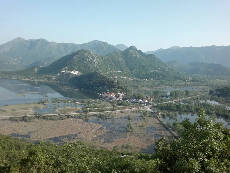
The Stories by the Water (Top Trail 5) cycling route
Loop from Cetinje around Lake Skadar and the south coast · 2-3 days (236 km)
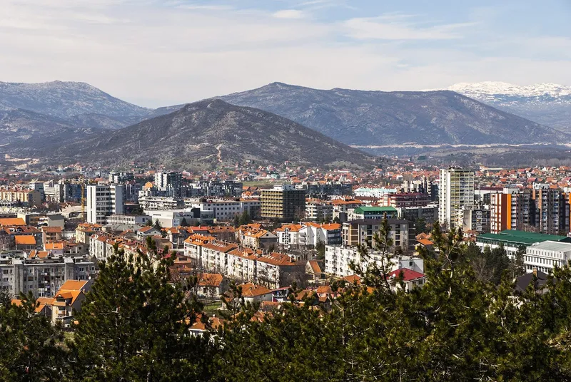
North Discoveries (Top Trail 2) cycling route
Loop from Nikšić through the north · 5-8 days (390 km)
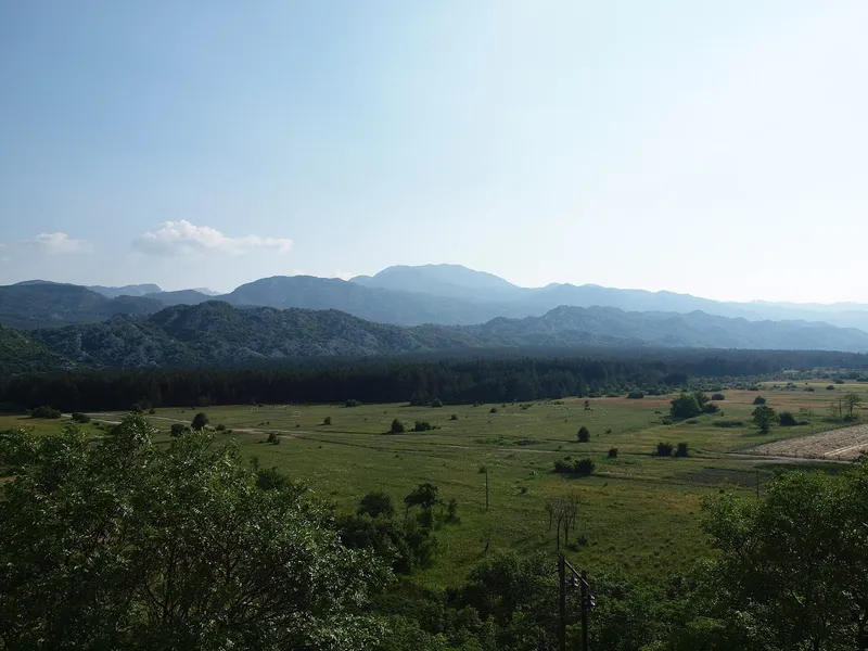
Salty and Sweet (Top Trail 1) cycling route
Herceg Novi to Durmitor and back · 7-10 days (626 km)